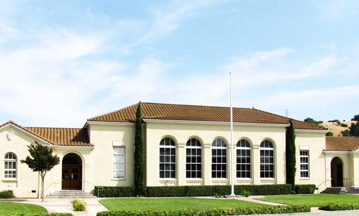
Homes, condos and land for sale and rent in Gilroy, CA
Gilroy is well known for its garlic crop and for the annual Gilroy Garlic Festival, featuring various garlicky foods, including garlic ice cream. Gilroy also produces mushrooms in considerable quantity. Gilroy’s nickname is “Garlic Capital of the World”. Boutique wine production is a large part of Gilroy’s western portion, mostly consisting of family estates around the base of the Santa Cruz Mountains to the west.
When gold was discovered in 1848 in the Sierra Nevada foothills, the trickle of immigrants from the eastern states and abroad became a flood. As many of the earlier Mexican and Californio landowners sold off their land, lost it to squatters, or were dispossessed through title hearings, the area around San Ysidro became known as Pleasant Valley. On March 12, 1870 it was officially incorporated by the state legislature as the town of Gilroy (John Gilroy had died in 1869). By then the town center had been relocated west of the El Camino Real (Old Gilroy is today a sparsely populated agricultural area). Cattle ranching and timber from the nearby Santa Cruz Mountains were important to the economy for some time but, as in the rest of the valley, agriculture was the town’s greatest source of income. Farming remains significant, but in the 1970s the city began evolving into a bedroom community for Silicon Valley to the north.
There are a number of extant historical buildings dating from the mid-19th century. Built in 1857, the Christian Church at 160 Fifth Street is the oldest wood framed church in Santa Clara County in continuous use. Blacksmith George Eustice’s house at 213 Fifth Street was constructed in 1869; Eustice was an American Civil War veteran who fought at Gettysburg. Samuel Moore was a long time Gilroy postmaster, whose home was built in the 1870s at 7151 Church Street. Nearby in the foothills of the Diablo Range to the northeast is the historic resort site Gilroy Yamato Hot Springs, developed in the late 19th century (now closed to the public).
Contributing to environmental noise are primarily U.S. Route 101, El Camino Real, Leavesley Road and other major arterials. The number of people exposed to sound levels above 60 CNEL is approximately 4,000.
Average temperatures in December, the coldest month, are a maximum of 60 °F (16 °C) and a minimum of 38 °F (3 °C). Average temperatures in July, the hottest month, are a maximum of 88 °F (31 °C) and a minimum of 55 °F (13 °C). There are an average of 7.4 days with highs of 100 °F ( 37.8 °C) or higher and an average of 17.7 days with lows of 32 °F (0 °C) or lower. The record high temperature of 115 °F was on July 15, 1972. The record low temperature of 17 °F was on December 22–24, 1990.
There are an average of 60 days with measurable precipitation. The wettest year was 1983 with 37.76 inches and the dryest year was 1977 with 11.17 inches. The most rainfall in one month was 14.64 inches in January 1914.
The Census reported that 48,015 people (98.3% of the population) lived in households, 642 (1.3%) lived in non-institutionalized group quarters, and 164 (0.3%) were institutionalized.
There were 14,175 households, out of which 7,111 (50.2%) had children under the age of 18 living in them, 8,160 (57.6%) were opposite-sex married couples living together, 2,212 (15.6%) had a female householder with no husband present, 964 (6.8%) had a male householder with no wife present. There were 996 (7.0%) unmarried opposite-sex partnerships, and 102 (0.7%) same-sex married couples or partnerships. 2,136 households (15.1%) were made up of individuals and 908 (6.4%) had someone living alone who was 65 years of age or older. The average household size was 3.39. There were 11,336 families (80.0% of all households); the average family size was 3.69.
The population was spread out with 14,983 people (30.7%) under the age of 18, 4,514 people (9.2%) aged 18 to 24, 14,104 people (28.9%) aged 25 to 44, 11,122 people (22.8%) aged 45 to 64, and 4,098 people (8.4%) who were 65 years of age or older. The median age was 32.4 years. For every 100 females there were 98.5 males. For every 100 females age 18 and over, there were 97.1 males.
There were 14,854 housing units at an average density of 919.4 per square mile (355.0/km2), of which 8,624 (60.8%) were owner-occupied, and 5,551 (39.2%) were occupied by renters. The homeowner vacancy rate was 1.7%; the rental vacancy rate was 4.6%. 27,798 people (56.9% of the population) lived in owner-occupied housing units and 20,217 people (41.4%) lived in rental housing units.
Gavilan College
High Schools
Gilroy High School
Gilroy Early College Academy (GECA)
Christopher High School
Mt. Madonna Continuation High School
Middle Schools
South Valley Middle School
Brownell Middle School
Ascencion Solorsano Middle School
Elementary Schools
Rucker Elementary School
Elliot Elementary School
Glen View Elementary School
Las Animas Elementary School
Antonio del Buono Elementary School
Luigi Aprea Elementary School
El Roble Elementary School
Rod Kelley Elementary School
Gilroy Prep School, a charter school
St. Mary School, a private Catholic school serving transitional kinder through 8th grades
Pacific Point, a private Christian school serving Pre-K through 8th grade
Other cities in Santa Clara County
Morgan Hill Real Estate for sale and rent
Homes, condos and land for sale and rent in Morgan Hill, CA Morgan Hill is a city in Santa Clara County, California, at the southern tip of Silicon Valley, in the San Francisco Bay Area. [...]
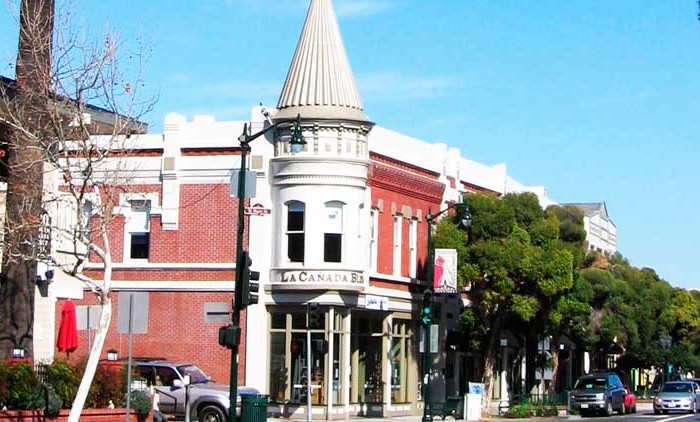
Los Gatos Real Estate for sale and rent
Homes, condos and land for sale and rent in Los Gatos, CA Los Gatos is an incorporated U.S. town in Santa Clara County, California. The population is 30,391 according to the 2013 United States Census [...]
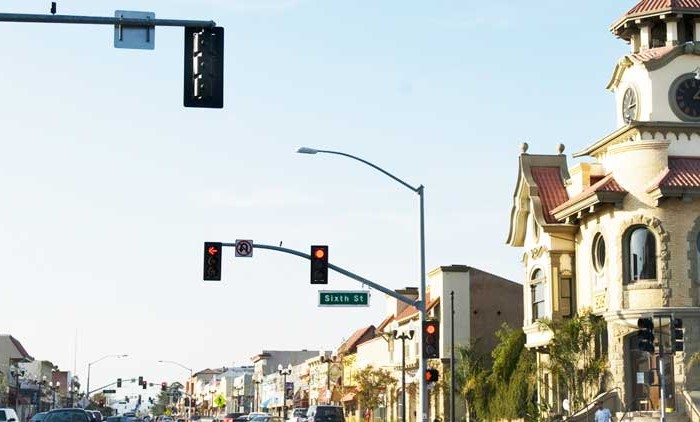
Gilroy Real Estate for sale and rent
Homes, condos and land for sale and rent in Gilroy, CA Gilroy is a city located in Northern California's Santa Clara County. The city's population was 48,821 at the 2010 United States Census. Gilroy is [...]
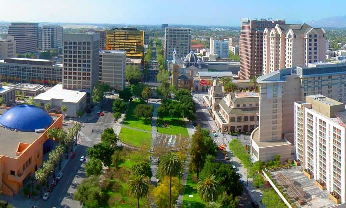
San Jose Real Estate for sale and rent
Homes, condos and land for sale and rent in San Jose, CA San Jose, originally Pueblo de San José de Guadalupe and officially the City of San José, is the third-largest city by population in [...]